Here are our favorite photos of some of our favorite places to give you an idea of what it’s like to be here and walk through our landscape.
(Click on any photo to see a larger version.)
Since the farm is so large, with so many different kinds of places, I’m making this quick version of the tour, and two longer ‘walks’ through the property if you’d like to see more: Western Walk and Eastern Walk
Mike recently bought a drone, and he’s been using it to document the farm. Click Here to see some aerials taken from the drone, and links to a couple of the latest videos.
We spend a lot of our time doing restoration – planting prairie in old farm fields, and restoring prairie and savanna remnants. Click Here to see some of our best ‘before and after’ photos, illustrating some of the projects we’ve worked on.
We call our land ‘the farm’ because until the 1970s it was a dairy farm. After that it was used as deer hunting land, with about 150 acres rented out for row crops – corn and beans. The whole property is just under 500 acres (we think about 495) – we bought 420 acres initially, and then added 75 acres of woods in the last few years.
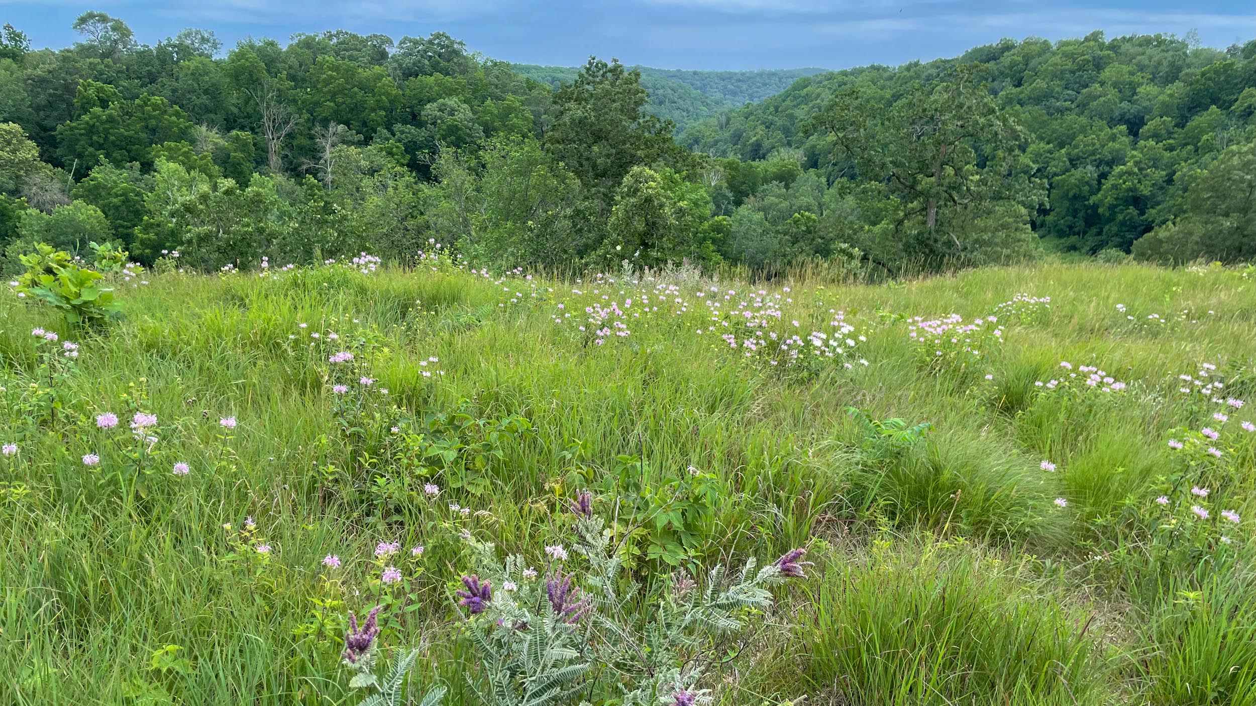
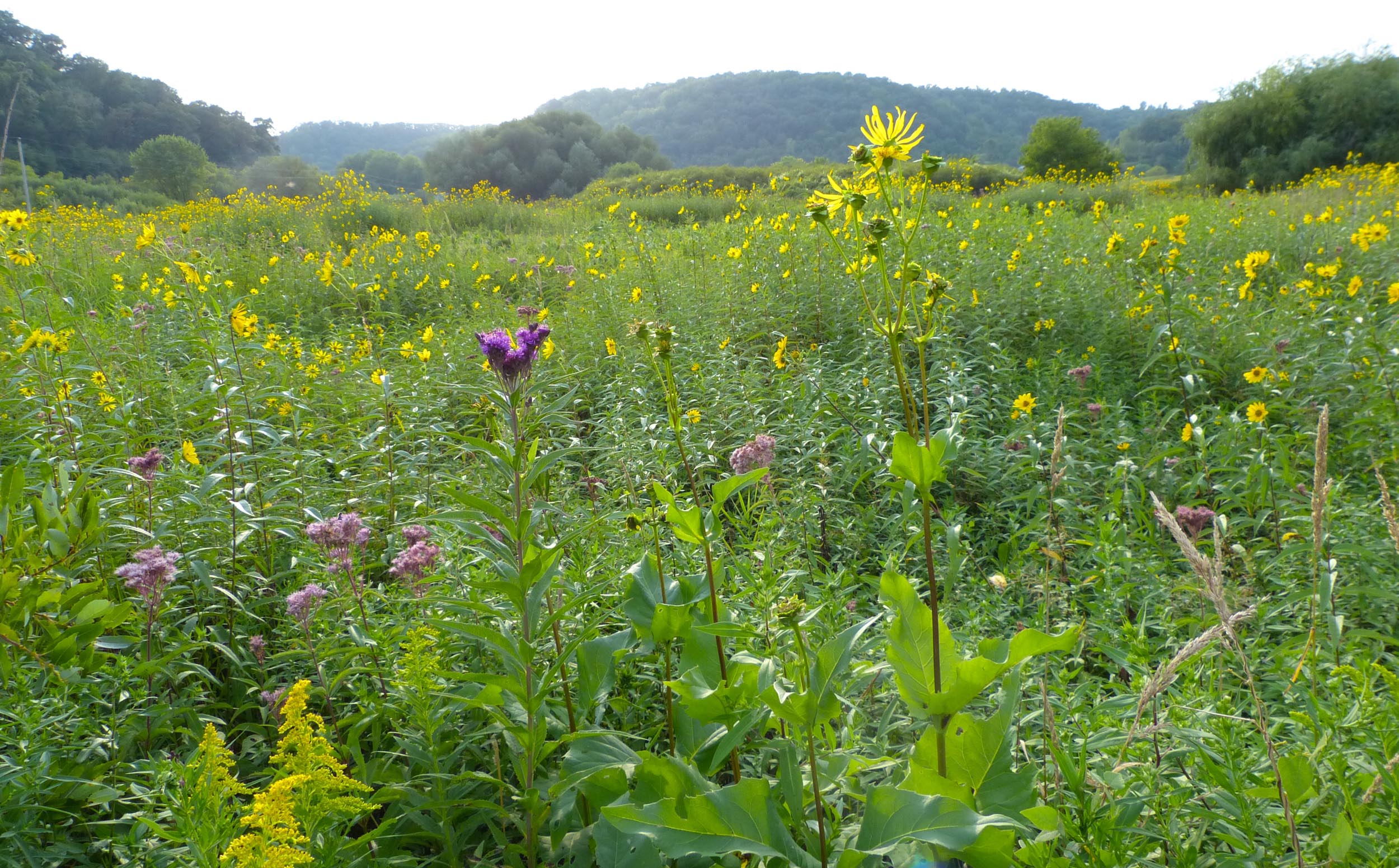
Our first big project was planting the prairies in the 150 acres of crop fields. This is Buffalo Ridge – one of the later prairies we did, and one of the most successful. It’s been very exciting to see the change from corn and bean fields to ones full of native plants and birds and bugs. I’m sure these will never look like the prairies that were here originally, but they’re beautiful to look at, and attract a wonderful diversity of wildlife.

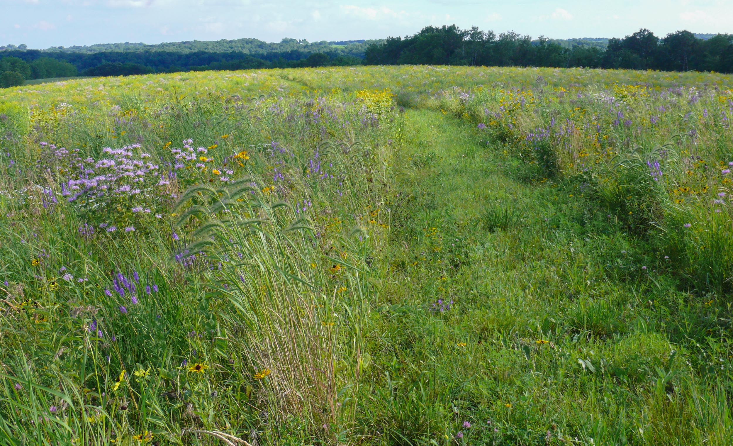
This is our largest prairie area. Western Prairie is about 60 acres, and combined with Buffalo Ridge it makes 80 acres of contiguous planted prairie.
The prairies are beautiful in all seasons – this is Buffalo Ridge Prairie in fall.

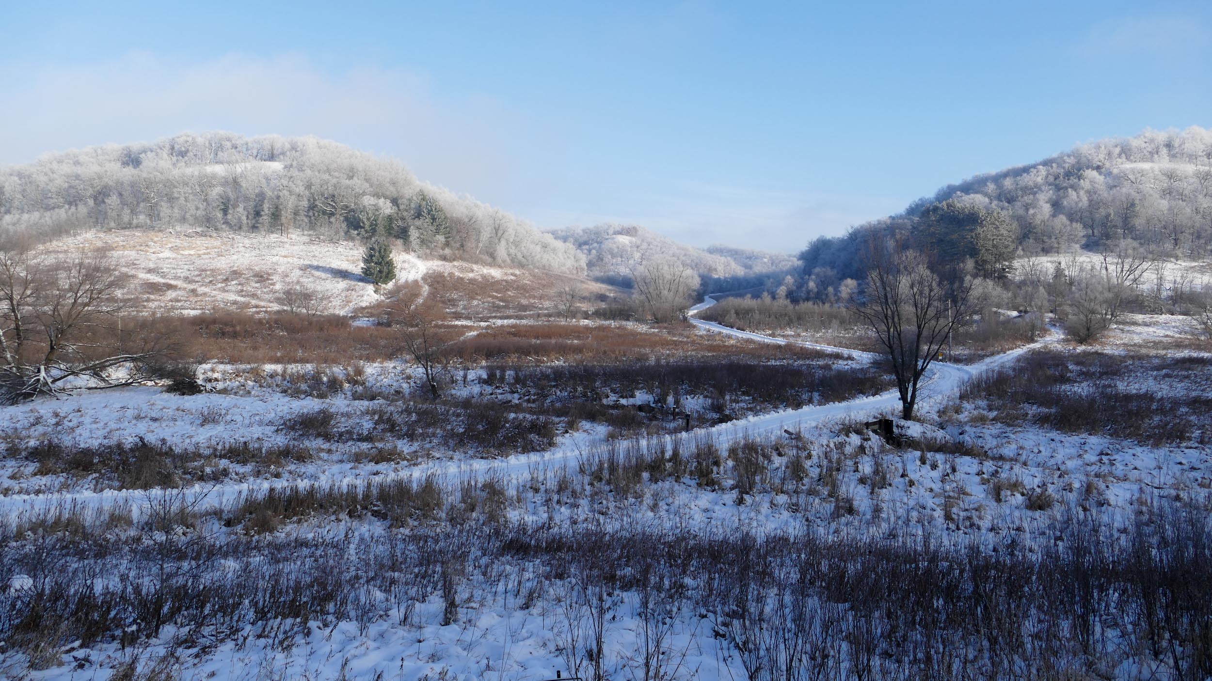
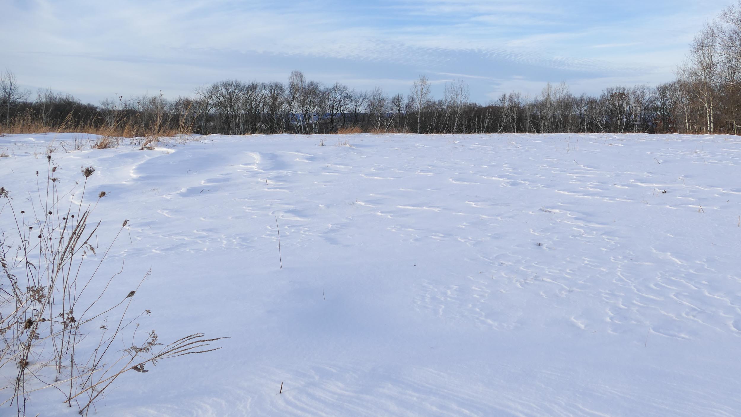
Narrows Prairie with snow
In addition to the planted prairies, we have numerous prairie and savanna remnants – relics of the habitats that were here before the land was farmed. We’ve been trying to restore and enlarge these remnants. This is Hidden Oaks Point – one of the dry bluff prairies.
Indian Grass Point – another of the dry prairie points where we’ve done extensive work clearing away brush and trees which had been taking over the prairie.
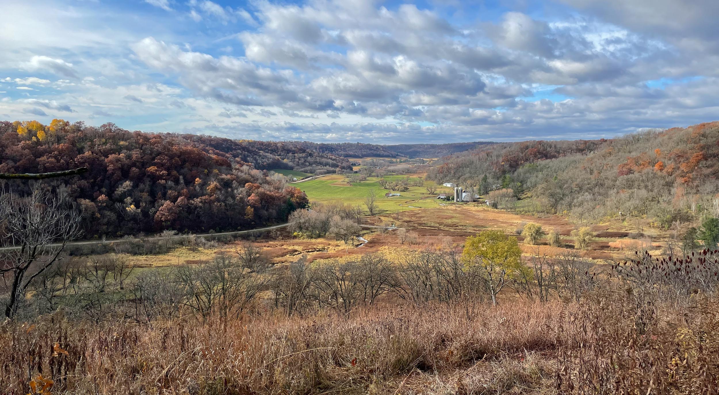
Big View Prairie is a dry prairie remnant with our best view of the surrounding countryside.
This is a remnant of what was originally savanna – widely scattered oak trees with prairie plants growing beneath. Before we started work here, the brush was so thick that we couldn’t see the oaks. In the fall of 2013 we started cutting and mowing brush, and now the prairie and savanna plants are starting to come back. This photo was taken in August 2016.
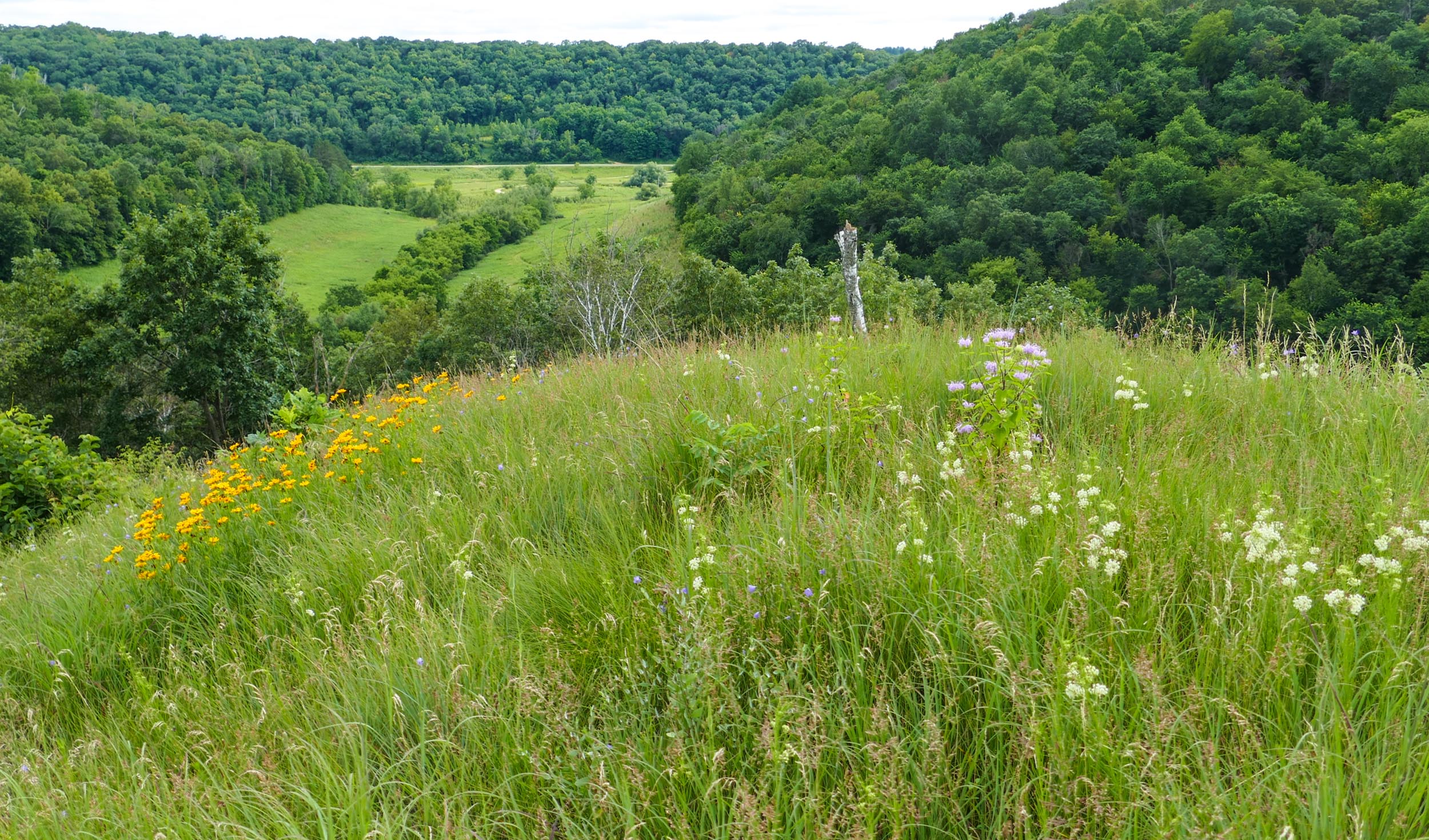
This is the view from Hidden Oaks Point (a dry prairie remnant), down a remnant savanna hillside, to 3 Finger Valley (a planted prairie) in the valley below.

We also have a narrow winding creek, fed by numerous springs, and surrounded by about 50 acres of wetland.

This is some of wet prairie we’ve planted near the creek.
Some of the wetland where we removed invasive species, and then planted with natives.

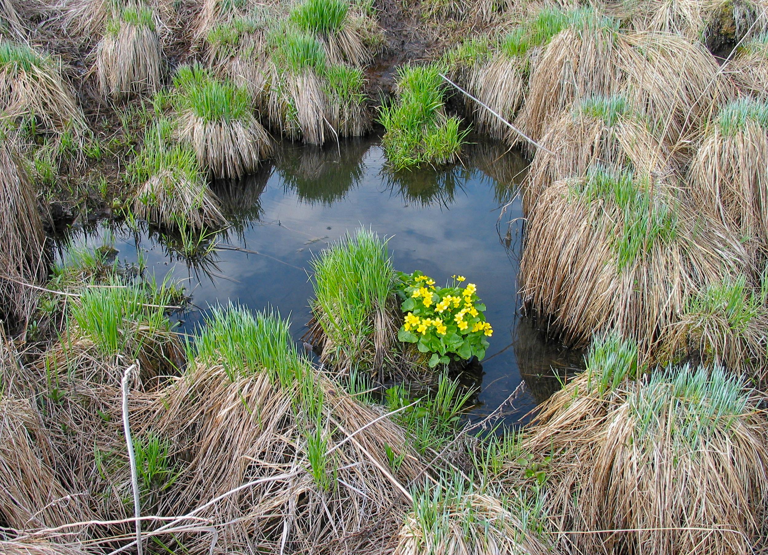
One of the springs that feed into the creek, surrounded by a sedge meadow. Sedge meadows have a distinctive bumpy texture from the hummocks formed by the sedge plants. Marsh Marigolds are common here.
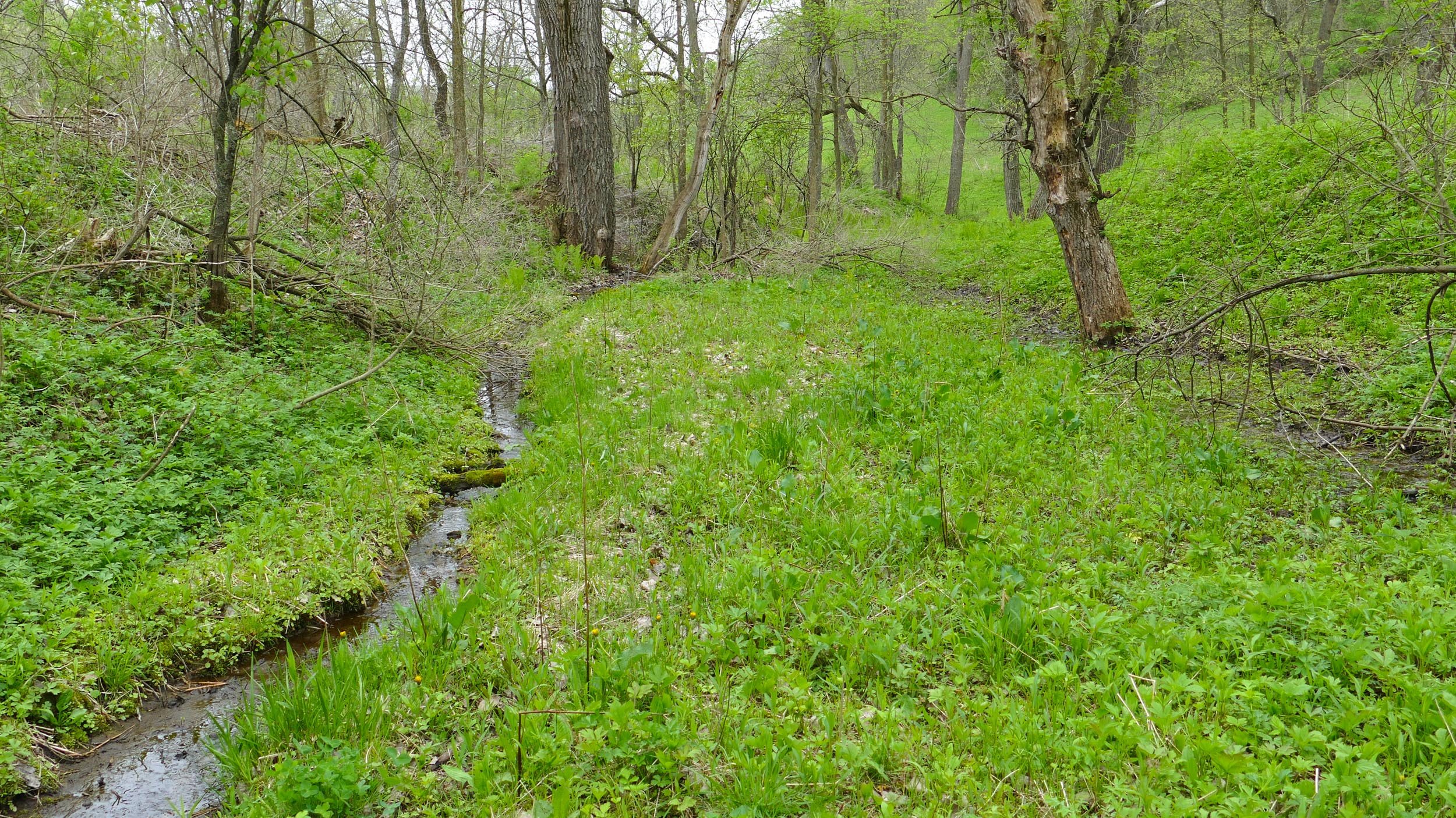
This is a smaller wetland, back in the woods where water from a spring runs in a stream down to the creek.
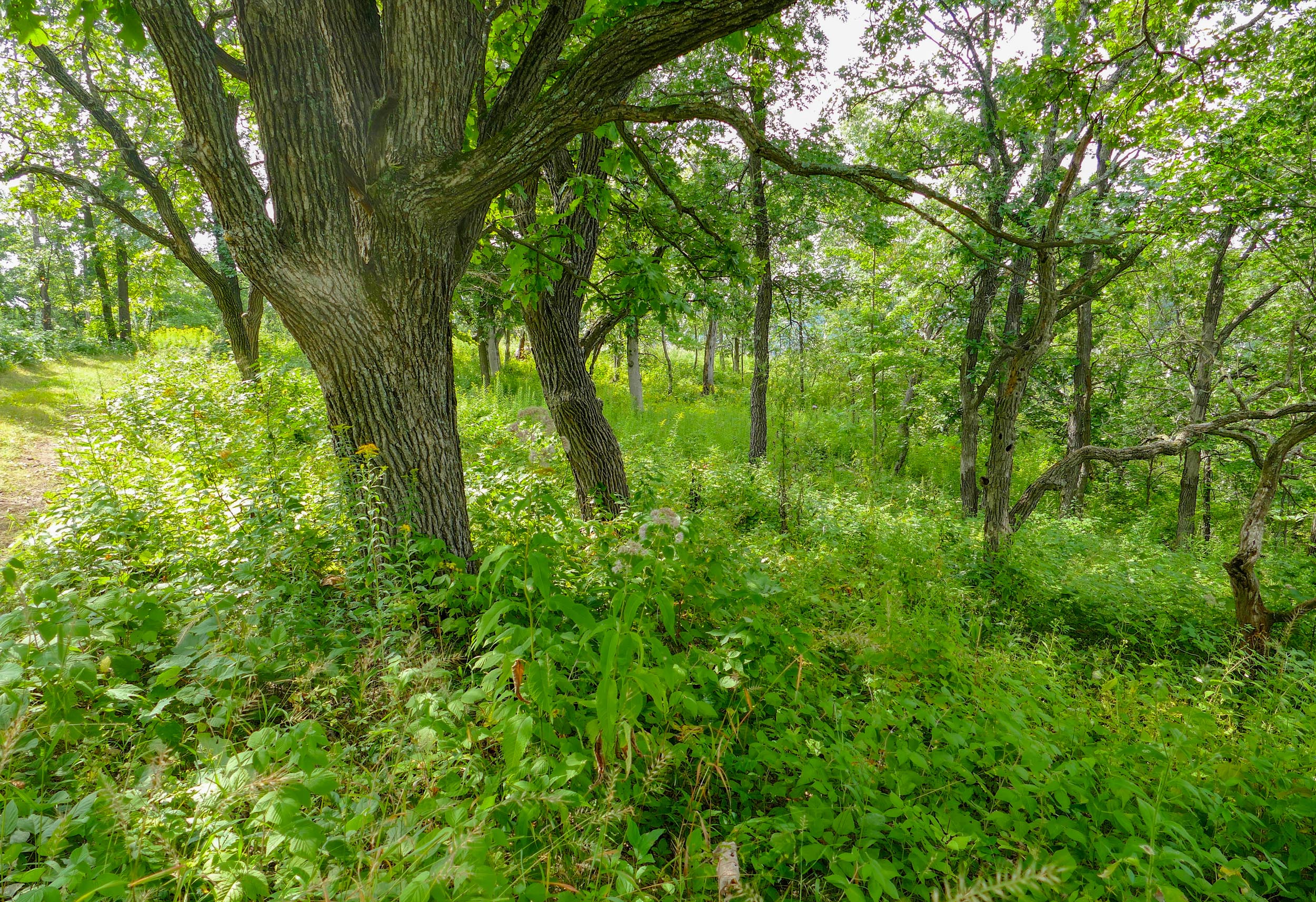
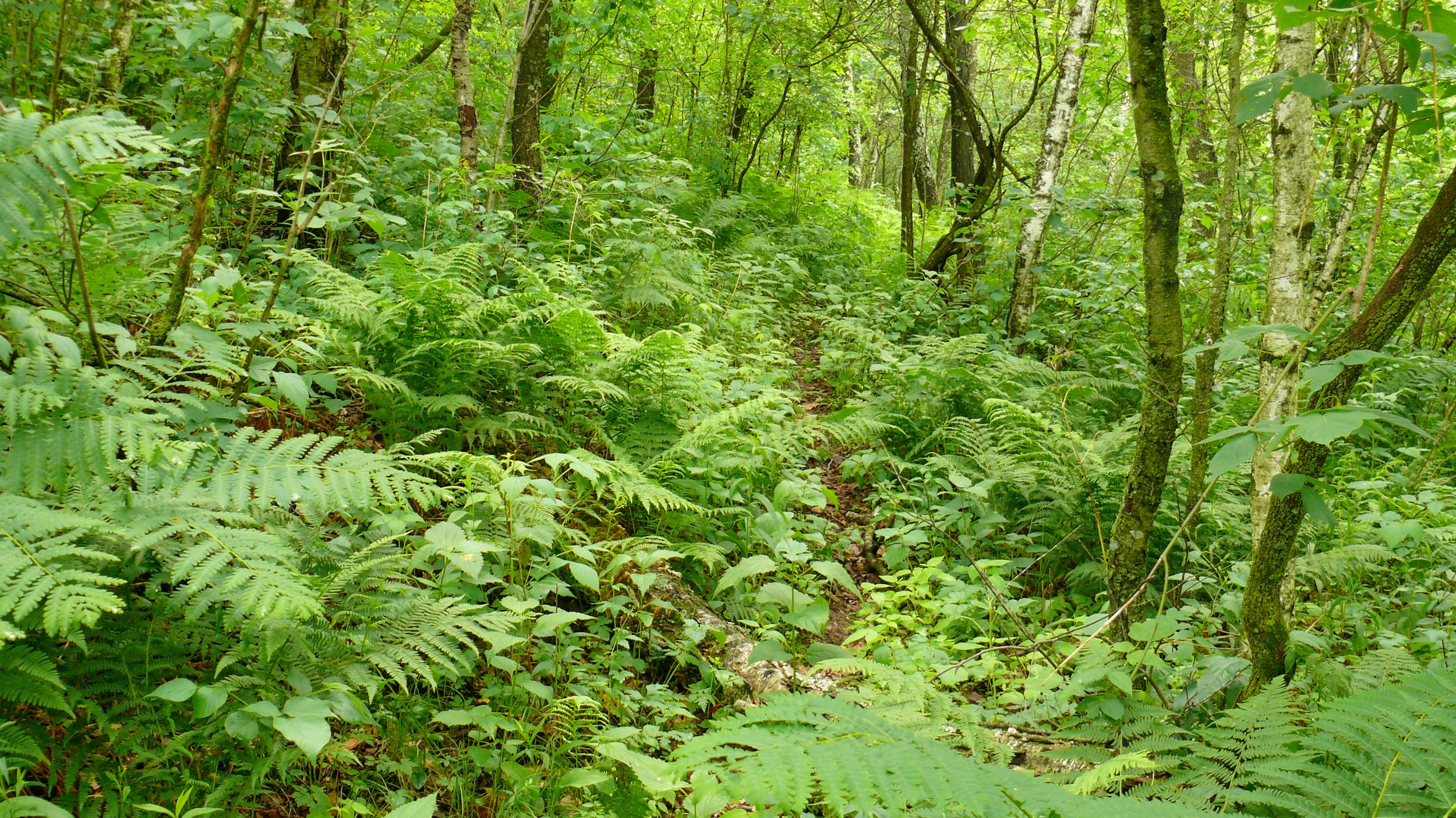
The largest part of our land is woods. The woodland varies from savanna remnants on the tops and on south-facing hillsides, to ‘southern dry oak forest’ – woods dominated by Black and White Oak, with Red Oak, Burr Oak and Black Cherry. On this hillside, the floor of the woods is covered with ferns – Lady Fern, Toothed Wood Fern and Interrupted Fern.
Maple Ridge faces north, so it’s all woods, and has a large grove of Sugar Maples.

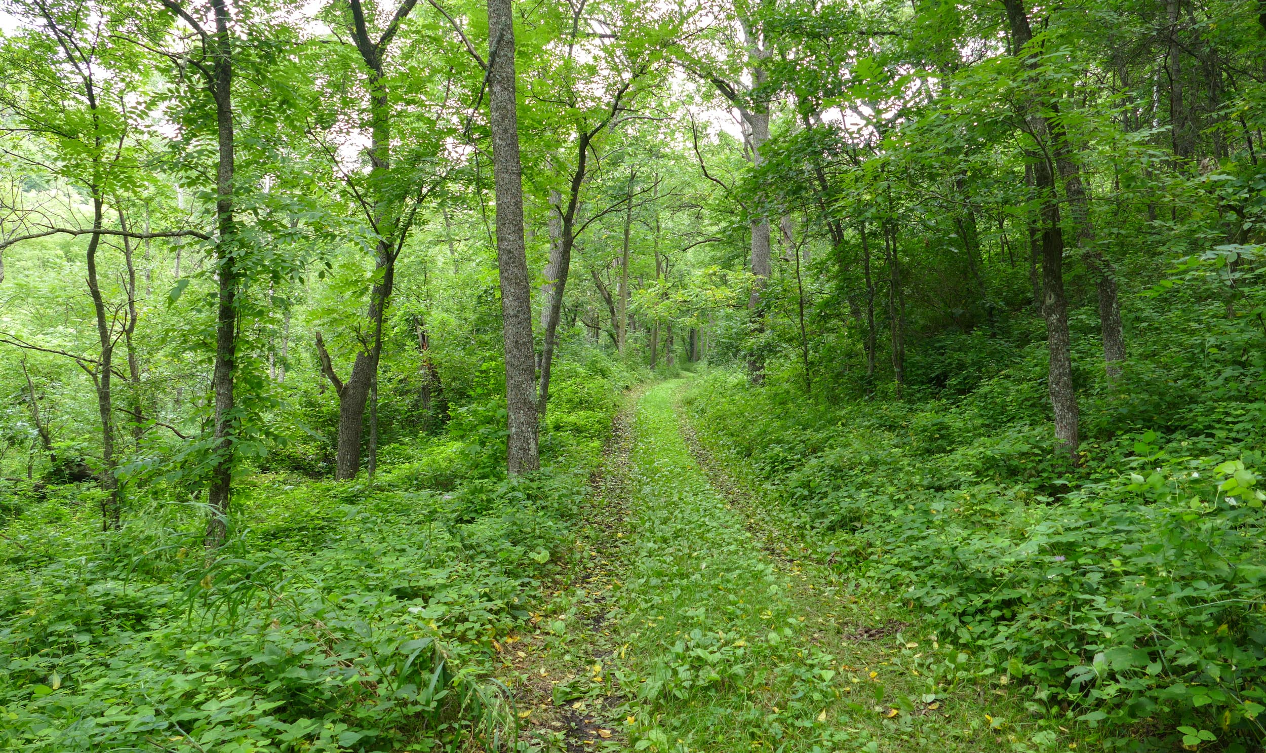
One of our trails through the woods
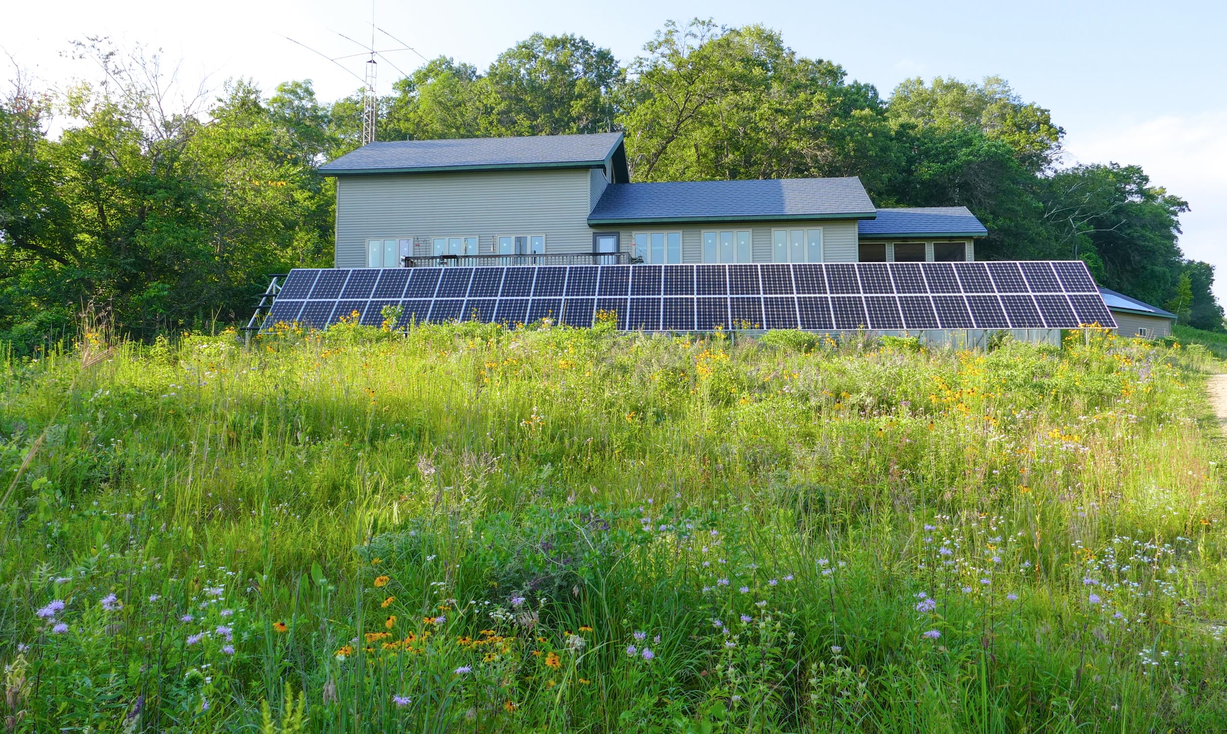
Here’s our house – surrounded by prairie and solar panels.
If you’re interested in seeing more pictures of the farm, click on the links below. I’ve organized them into two ‘walks’, one from the beginning of the driveway, back to the house, then through the western part of the property. The other starting at Maple Ridge – the new piece of woodland that we added to the farm a few years ago, and back along the eastern side of the property.
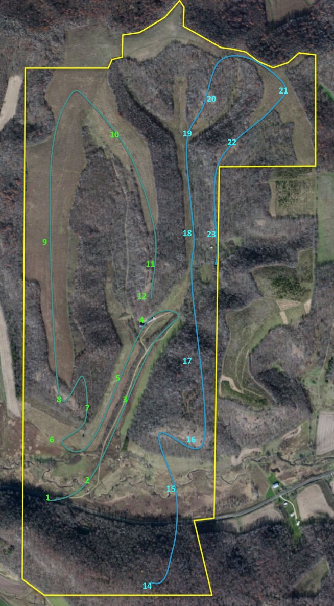
Here’s a map of the farm, so if you enjoy reading maps, you can follow along. Click on the map to see a larger version.