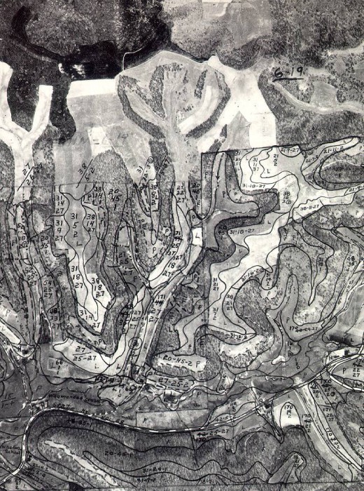
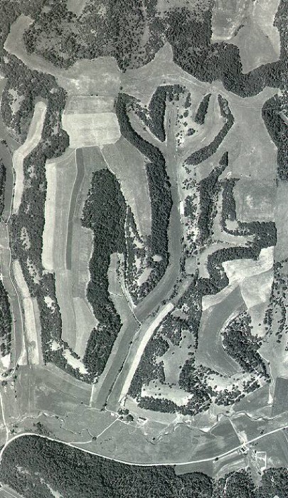
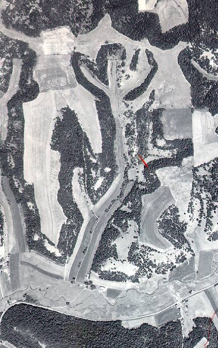
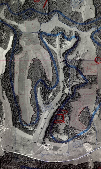
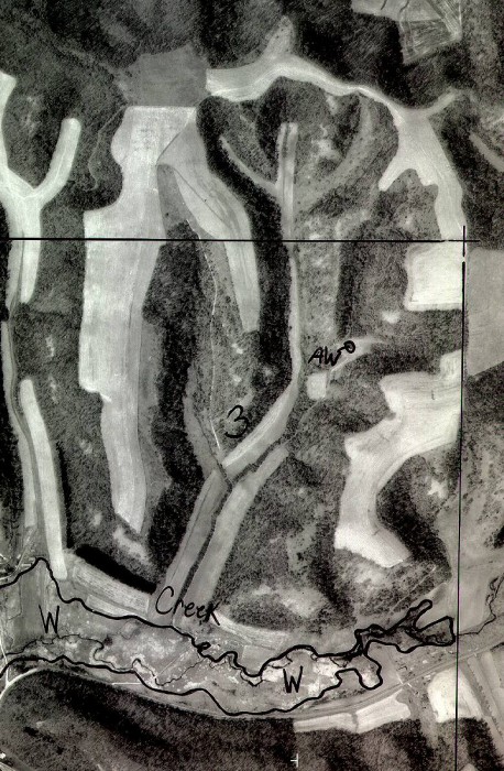
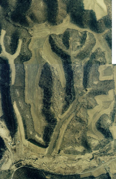
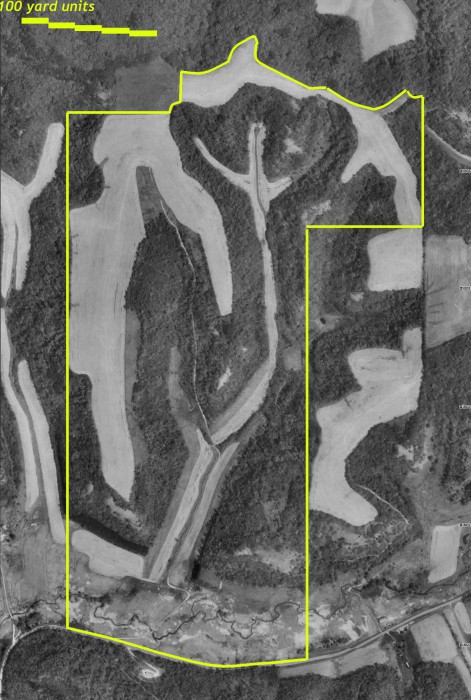
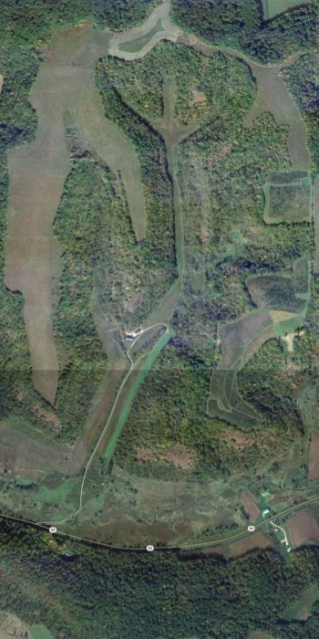
These are old aerials of the farm that we found at the NRCS office in Alma. (They don’t show the 30 acres that we added to our southern boundary in 2012.)
This is the oldest one they had – from 1939.
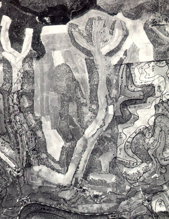
This is the same 1939 photo, but with the lines around the fields removed, so it’s easier to see.
1951
1959
1972
1992
1995
1998
Recently we’ve been able to get aerial photos directly from Google maps. I got this one in early February of 2013, but we think the photo was actually taken in the summer of 2011. It shows all our land, including Maple Hill – the piece of woods across Hwy 88 that we bought in 2012.

